Research improves our ability to predict and fight deadly wildfires
Research improves our ability to predict and fight deadly wildfires
Scroll down to read the story
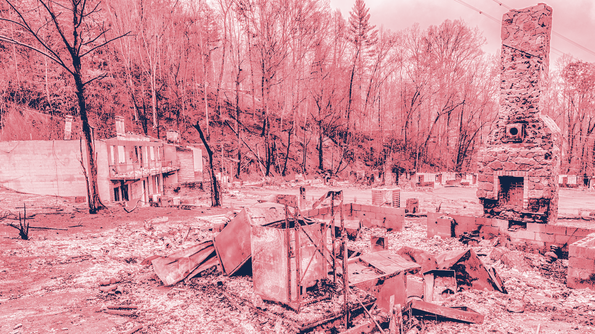
Nationwide, fire season has grown longer, wildfires have become larger and more intense, and blazes are more frequently encroaching on communities, destroying whole neighborhoods and businesses, as well as threatening lives.
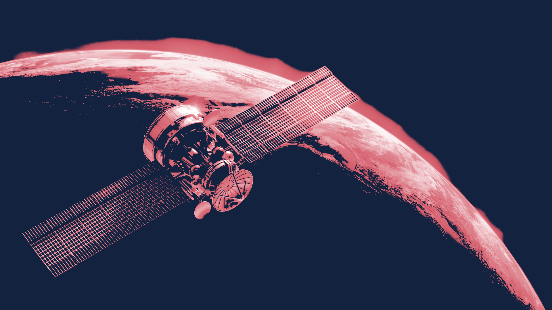
Our researchers use environmental data, satellite imagery, and AI to predict wildfire threats, helping identify high-risk areas and improve forecasting accuracy. They refine wildfire behavior models, study air quality impacts, offer free online prediction trainings, and collaborate with emergency responders to support their decision-making.
NSF NCAR researchers have developed methods to predict wildfire risks months in advance by analyzing environmental conditions like precipitation, temperatures, and drought during the preceding winter and spring.
To model wildfire behavior more accurately, NSF NCAR scientists are applying artificial intelligence to data from satellites, aircraft, and vegetation inventories to create wildfire fuel maps that better reflect conditions on the ground, including areas with dead or dying trees or that have been previously burned.
Smoke from wildfires can have serious health impacts in both nearby communities and those downwind, even hundreds of miles away. NSF NCAR researchers are focused on better understanding these air quality impacts and how they’re worsening.
UCP’s COMET program supports emergency responders by offering free online lessons on fire weather analysis and forecasting, fire behavior, and fire detection, and NSF NCAR works directly with potential users of our model output to ensure the information is in a format that’s as useful as possible.